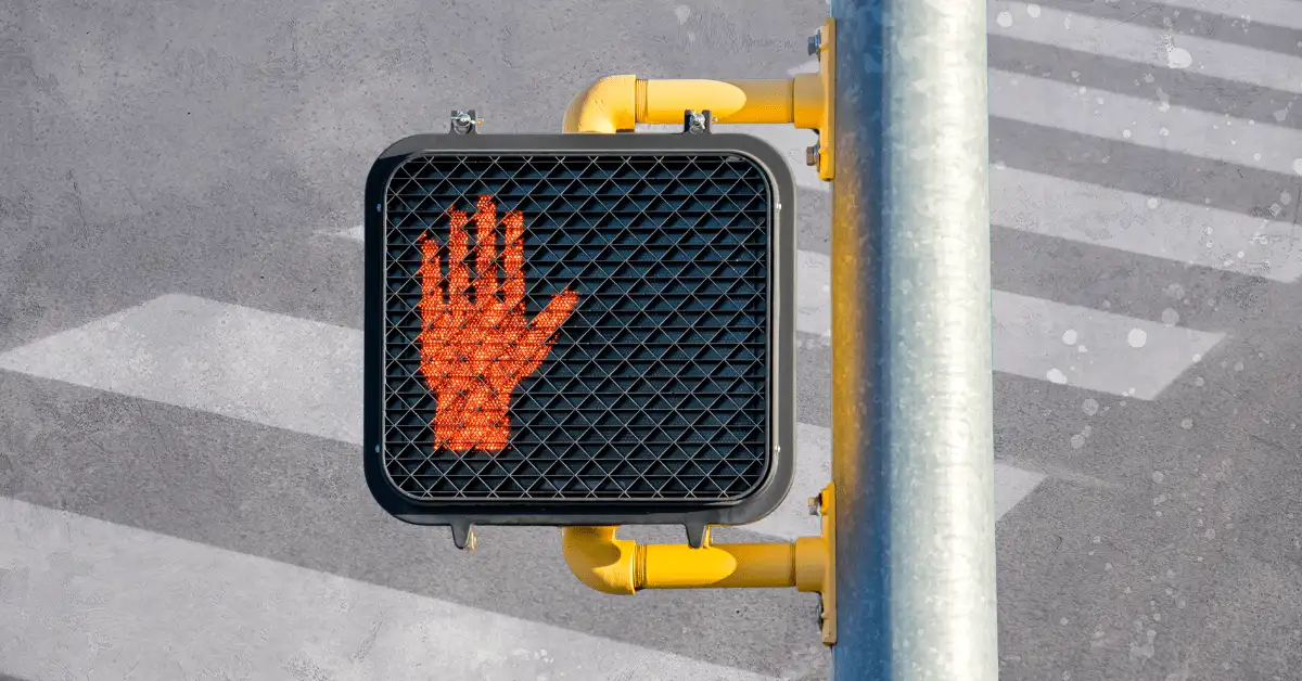
Sweden has some of the safest streets in the world, and new tech might make them even safer.
Stockholm, Gothenburg, and other European cities are testing geofencing, a technology that experts say could reduce traffic fatalities and lower emissions, per The New York Times.
Geofencing?
Yup. Geofencing uses GPS or radio frequencies to create a virtual perimeter, or “fence,” around a geographic area. It’s widely used with commercial drones today. In this case, the perimeter communicates with software that’s programmed to manage how cars can move within the fence.
Geofences can be programmed to:
- Change the speed of cars driving within a zone (based on weather, traffic congestion, or pedestrian density).
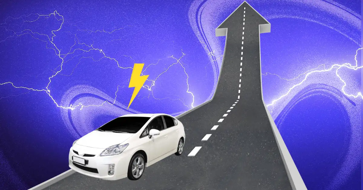
- Flip hybrid cars to electric mode to reduce noise and air pollution.
To follow basic geofencing rules, a driver just needs to download a map. But for more dynamic applications, vehicles need to be connected to some type of tech cloud.
Why it matters
Traffic injuries are the leading cause of death among young people globally — and numbers in the US are especially grim.
While geofencing can be used to some extent with today’s cars, the transition to autonomous vehicles could lead to far wider application of the tech.
To take advantage of its benefits, drivers must hand over some control to computers (and city officials). It’s unclear how that pitch would land for Americans, who aren’t always thrilled to give up personal freedoms.